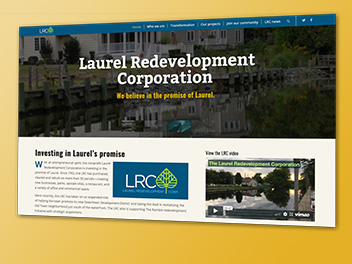
Story maps
Story maps can use a combination of interactive maps, photos, videos and links to provide spatial information in a visually appealing, reader-friendly way. Lee Ann has produced several story maps, including these two for Laurel. The first uses the new cascading template to produce full-frame images and scrolling text. The second was part of the Town of Laurel’s submission for a Downtown Development District and displayed all the maps and data used to apply for the designation – including a Google Earth flyover.